
The Map
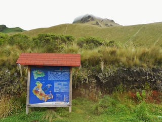
The Trail Head Signage
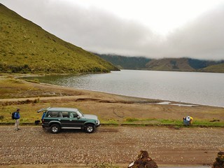
Laguna Mojanda
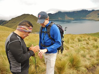
Rafael Checks Tilden’s heart rate and blood oxygen saturation.
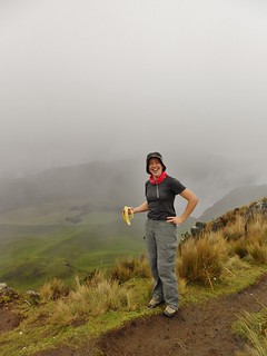
Banana on the summit!
It was our first day of acclimatization, so Rafael selected Fuya Fuya, which means Cloud Cloud. It is a 13er just about 45 minutes drive from Otavalo. It took us 1 hour and 40 minutes to get to the summit, from Lake Mojanda. This is excellent time as it’s ~1700 ft of gain.
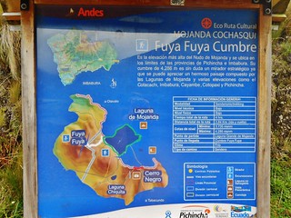
Close-up of Trail Head Sign
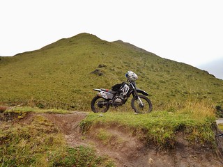
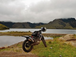
The trail head is a popular place for motorcycle and ATV groups to ride. A group of bikers were up there at the same time as us, and I got these pictures of their bikes. The area has had some vehicle break ins, so it’s not good to leave anything valuable in the car, just a heads up!
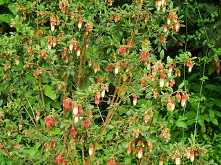
Some really pretty flowers that we saw on the roadside, before the start of our hike.
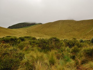
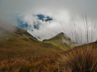
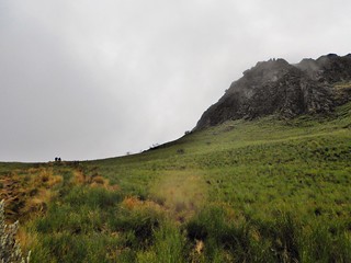
The hike starts at Laguna Mojanda and is mellow for the first half mile, or so, but then it climbs ridiculously steep the rest of the way to the summit. In the picture above, you can see where the steep uphill begins. Due to the cloud cover, we couldn’t see the summit (even when we were on the summit!). The mountain is aptly named.
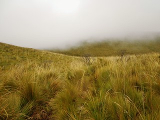
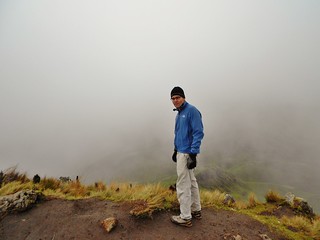
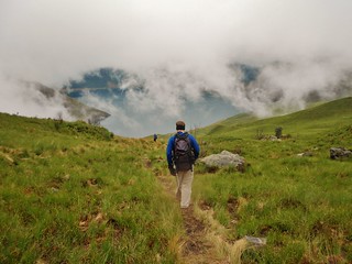
It was our first experience climbing the paramo; learning how to navigate through the waist deep high-altitude grassland took a bit of skill. Sometimes, you step on the bunch of grass and other times you use the grass as a handle. It can be tricky to see the trail (can you see it in the picture above?), so it’s important to pay attention!
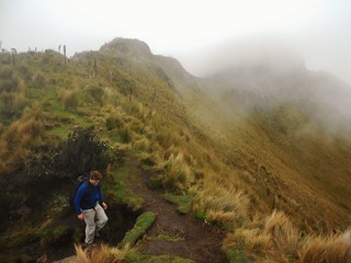
After a relentless 1 hour 20 minute ascent, we gain the summit ridge. Now, it’s just 20 minutes and a tiny bit of 3rd class to the summit.
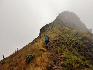
This was taken from the same spot as the picture of Tilden, above, I just turned to the right to get a picture of Rafael, leading the way!
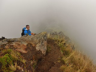
Hiking in Ecuador is amazing. Every now and then, the clouds part and you can see a LONG way down! In this picture, you can see the tall dark stems of the Achupaya plant. Achupaya is a high altitude member of the pineapple family. Rafael taught us about some of the plant species, which was fun!
Tilden on the summit of Fuya Fuya. Now, we had to descend.
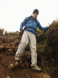
The ground was a bit muddy in spots and we slipped a few times. I was happy that Tilden lent me a trekking pole!
I think Rafael is relieved that Tilden and I are so proficient at scrambling…he almost has a devilish expression here as we are about to scramble back down the 3rd class crux.
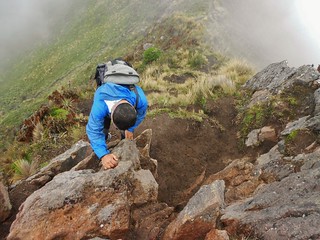
Rafael descending the 3rd Class Crux
Looking back at the Fuya Fuya escarpment. We went around to the left of this, and climbed up the backside.
Descending back to the lake. Rafael ran down. We opted to walk fast!
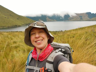
Smiling Selfie!
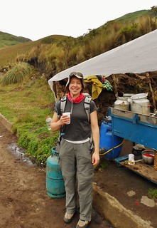
By the time we had arrived back at the trail head, there was a food stall set up. They had meat grilling, corn, and potatoes. They were also selling morrocho, which is a creamy corn drink served with nutmeg and cloves. It’s the South American equivalent of Chai (or that’s what it reminded me of-just made with corn).
Tags: 13'er, Ecuador, Fuya Fuya, Laguna Mojanda, Otavalo