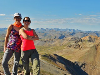
All Smiles on Summit of Jones Mountain (13,860 ft). The Grenadier Mountains are behind us!
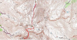
Topo Map, with our approximate route.
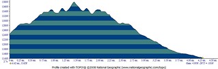
Elevation Profile, showing our gain of ~2,000 ft with a distance of 4.25 miles. We left high camp at 12,400 ft, hiked to the summit of Jones Peak, and then back to the truck at 11,400 ft.
Then, we moved the truck to the Grizzly Gulch Trailhead to secure our camping spot for that night. As it was a Friday, we wanted to get to Grizzly Gulch before the masses from grasslands arrived.
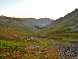
We left camp at 6:45am.
I was not feeling well and my knee was sore from the adventure yesterday. Erin was much more fresh, since she had opted out of the bonus peak.
I considered opting out today, but part of me worried about the lack of communication. There’s no way to have line of sight when basecamp is in American Basin and the other person is climbing Jones (or Niagara). So, since the radios wouldn’t help, I decided to just suck it up and go. Ibuprofen and some food went a long way to making me feel better!
We didn’t know it at the time, but we could have followed the grassy ramps above our camp straight up to the rock glacier above us.
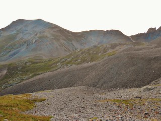
Instead, we traversed to our left and clambered up the rock gully. Looking back down, after 15 minutes of exertion, I took this picture. The gully we took is seen in this picture, curving down and to the left.
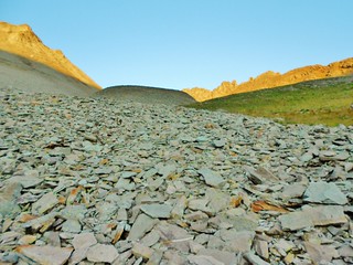
Taken from the same spot as the last picture, here’s what it looked like going up! I was not at all excited about the next hour’s prospects. Gaining the ridge on American looked like it was going to suck.
And suck, it did! Maybe in the early summer, or late spring, it’s not so bad because one is climbing up snow and not all this talus!
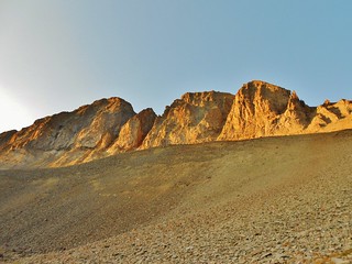
In winter, there are a number of snow climbs up the couloirs of American Peak.
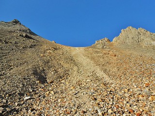
In snow, this would be a really nice and gentle climb, which is why Mr. Roach calls it a gentle notch.
But it’s not so gentle now! It started out benign, but gets more steep as one ascends.
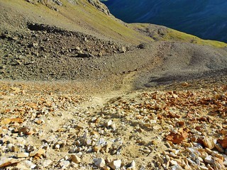
At the steepest part, I was very fearful of falling and tumbling all the way down. Luckily, the dirt here is fairly solid when it’s dry. I would not advise going up this if it had rained or was wet. It is a landslide waiting to happen!
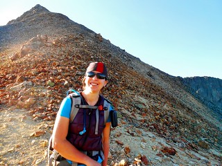
Erin got a great picture of me, exuberant to have survived the ascent of the “gentle notch”.
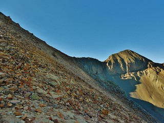
Mr. Roach said the view of Jones Peak can be sobering. I must admit, I was wishing for a shot of Vodka at this moment…but then I realized that we’d be hiking around the backside of Jones. Whew!
After contouring the ridge of American for 20 minutes, we got to the saddle in between Jones and American Peak.
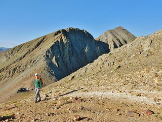
Here’s Erin, enjoying the sun, just above the saddle at 8:15am. Jones Mountain is behind her.
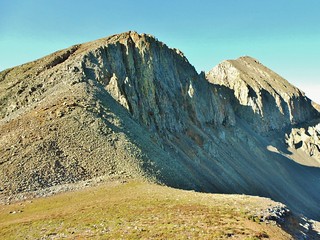
Jones is actually the peak in the background. There is a cairned trail for most of the way to the summit, once you reach the saddle (down below).

Erin ascending Jones Mountain. You can see trails leading down to the saddle, on the slopes behind her.
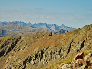
About 2 hours into our hike, we see the Vestal Group of the Grenadiers. Neato!

The gentle notch is in the middle of the frame, in ochre and rust colored hues. Also, in the background are Wetterhorn and Uncompaghre!
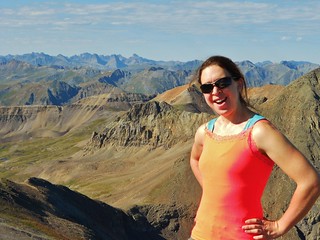
After 1.8 miles, and just over 2 hours of hiking, we reach the summit of Jones Mountain!
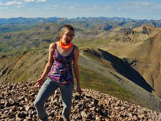
Erin bags a Centennial! She’s not at all picky about her peaks…just as long as they’re fun! Jones Mountain was fun, we both agree. And we are both not looking forward to descending the “gentle notch”.
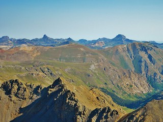
Wetterhorn and Uncompahgre from Jones Mountain. I’ve got to climb these peaks, they look awesome!

Southwest View of American Peak. It looks awful!
We decided not to climb Niagara, or American Peak. The backside of American Peak looked like awful scree and choss. I’d rather do it as a snow climb, or from the south east (The Snare, maybe?).
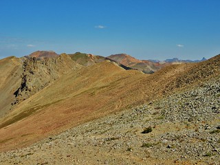
From the summit of Jones, it took us about an hour to get back to this spot. In about 10 minutes, we’d be back at the “gentle notch”.

Handies Peak, from the Northwest Ridge of American. Sloan’s Lake is peaking out from below.
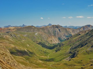
American Basin! Isn’t it amazing?
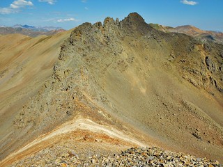
The Gentle Notch (13,200 ft). We will turn right and descend into American Basin, when we get there.
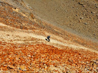
Erin got this awesome picture of me boot skiing down the gentle notch. Yippeee!
At some point, we both spent time sliding on our bums as it was too steep to do standing up!
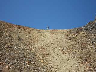
Erin at the top of the Gentle Notch
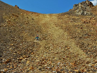
Erin surrounded by her own gravelanche!
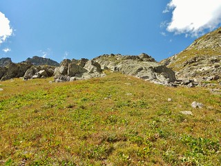
The Grassy Slopes we took on the way down that we should have taken on the way up! Lessons Learned!

A parting shot of American Basin.
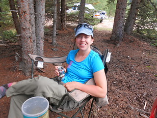
We packed up camp and moved the truck to Grizzly Gulch trail head. Then, we celebrated big time with frosty beverages, more oreos, and other assorted junk foods. Preservatives, corn syrup, and yellow dye #2 never tasted so good!
What an exhilarating day! The not so “gentle notch”, the scrambling on Jones Mountain, the amazing views of the Grenadiers, Uncompaghre, and Wetterhorn, and fabulous weather.
Would we be blessed with a 3rd day of great weather?
Tags: 13'er, Centennial, CO, Jones Mountain, Mountaineering, San Juan Mountains