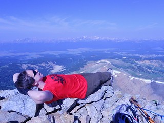
Naptime on Dyer Mountain!
Bobby enjoying the summit of Dyer.
After leading the CMC Half Marathon Holy Cross Loop Hike on Friday, I enjoyed a lazy Saturday morning at the Halfmoon Campground. I packed up camp and talked with Bobby about potential bonus peaks for Sunday.
I was anxious about doing the bonus peak solo, since I was a bit fatigued from leading the trip, so I was really happy to have company. We “shopped around” for low commitment peaks in both my 13’ers and 14’ers books. There were so many available, but it didn’t take long for us to decide on one…Dyer Mountain, it is!
Advantages being:
1. It’s on the way home from Minturn.
2. We can get really awesome pizza at High Mountain Pies.
3. My Subaru will have no problem making it to the TH.
4. It is a straightforward climb.
5. Camping near the TH is easy to find. Now, even easier…GPS: N 39 deg 13.732 min. W 106 deg 12.655 min
6. Neither of us had climbed it, yet.
About the TH beta for Iowa Gulch, if you have the Roaches 13er book, ignore the directions in there, they are outdated due to the road being paved much higher up than it was 10+ years ago. The best bet is to use 14’ers.com Iowa Gulch TH directions.
So, on Sunday, Bobby and I hiked from the Iowa Gulch TH to the summit of Dyer Mountain.
Our Campsite was really nice! It was just off the road a bit and nestled among a stance of trees.
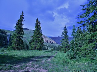
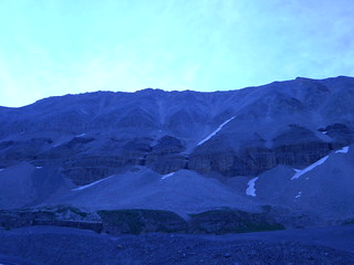
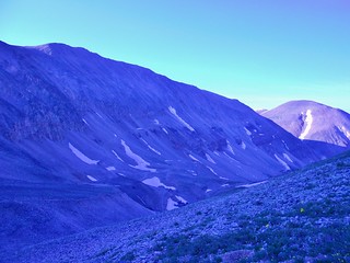
This picture was taken from the campsite, looking towards Dyer Mountain. Dyer is the dark peak in the background between the two trees!
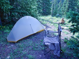
My one person tent. Bobby’s tent is about 50 feet behind mine…
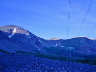
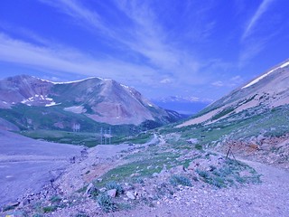
Looking back down Iowa Gulch. Taken about 30 minutes above the TH. The hike is not all that pretty to start, since you walk almost directly under these huge power lines.
Mt. Sherman’s more serious side!
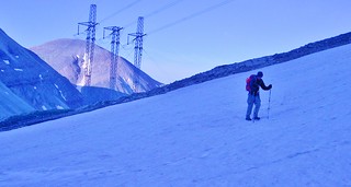
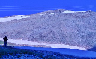
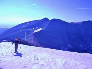
We were determined to make Dyer Mountain more challenging. So we walked over this icy patch of snow. A bit on the scary side without traction devices!
We’re now 1.2 hours from the trailhead.
The sun is starting to shine brighter now and it’s starting to warm up a bit.
Now, we’re 1.5 hours from the trailhead!
Taken from the same spot as the last picture, just looking forward. Bobby gets something to drink and we plan our next moves. We decide to go around to the left of the snowfield before climbing the talus.
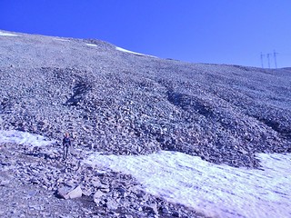
Bobby at the base of the talus. Although it looks awful, it was really not bad. The rock was mostly solid and class 2 the whole way. We just looked for more gentle sloped ramps and zig-zagged our way up the mountain. It took us about 1 hr 45 min to get here.
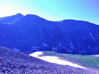
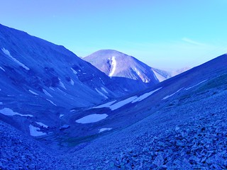
Looking over at Gemini and Mt. Sherman.
Bobby Traversing a Snowfield on the summit ridge. From here, we were only about 15 minutes from the summit.
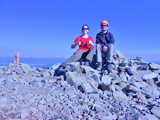
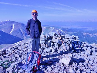
We made the summit! Now we get to go back to the car and eat leftover pizza. I’m so excited!
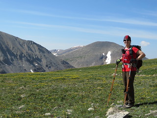
On the way back to the car, Bobby got this nice shot of me with flowers. Awww, how cute!
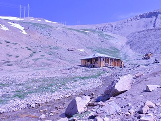
We explored one of the old mining buildings in Iowa Gulch. By explore, I mean, I got close enough to get a decent picture!
Taken from Iowa Gulch TH. Nice day!
The whole hike took less than 4 hours and it was only 3.5 miles long. Just what I needed for a recovery day after the long day on Holy Cross! Fun times.
Tags: 13'er, Centennial, CO, Day Hike, Dyer Mountain, Leadville, Mosquito Range, Tenmile Range