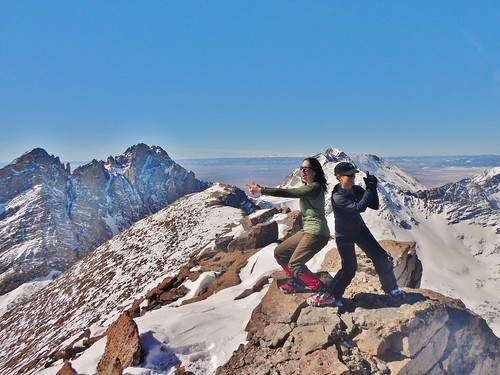
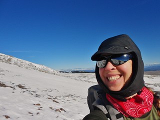
Jane and I do our impression of Charlie’s Angles. The Third Angel took a hike!
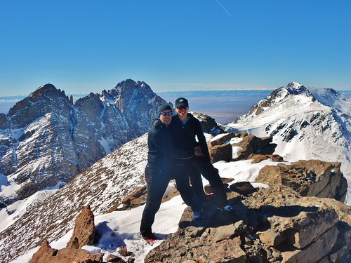
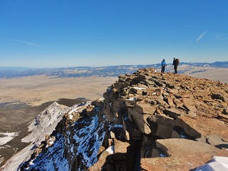
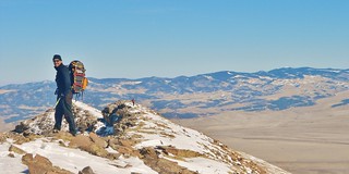
David and Jane on the summit of Humboldt Peak.

Topographic Map of Humboldt Peak
The rest of the state was being pummeled by strong winds, snowstorms, and laden with avalanche hazards. David, Jane, and I were looking for some place to go where we could safely summit a peak and it seemed the Crestones might just be the solution.
Jane has already climbed all the 14ers, but when there is opportunity to climb one in winter, she’s game! And, since I had not done Humboldt before, it looked like a great idea. I booked a room for the three of us in the tiny town of Crestone; so on Friday we drove down and arrived at bedtime. We made some tea and gathered our gear for the next day.
Would the mild forecast hold out? Would we make the summit? With a half marathon distance and over 5,400 ft of gain, it was bound to be a long day! What would the snow be like; would it be post hole madness or nice consolidated crunching?
We woke up at 4:30am to get geared up, eat a bit of food, and boil water for tea/coffee. By 5:10am, we were headed out the door. The 2wd trailhead was easy to find, even in the dark. Even though we had a jeep, we decided not to try driving down the road as condition reports suggested that about 1 mile up the snow was really deep. Also, as Jane pointed out, if we made it to the 4wd spot, we wouldn’t have thoroughly earned our summit!
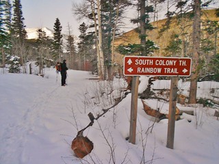
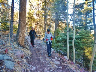
We left the jeep at 5:30am and started hiking down the road towards the South Colony Trailhead. It was easy walking on the road and we didn’t have to put on snowshoes until we got to the Rainbow Trail.
It took us 1 hour and 15 minutes to go the 2.5 miles to the Rainbow Trail.
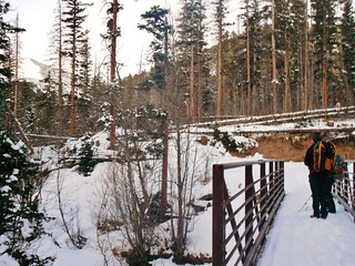
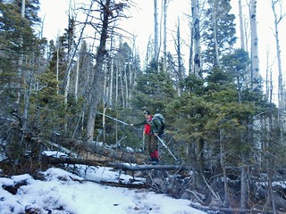
Crossing South Colony Creek
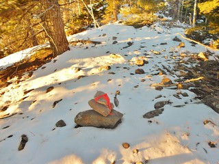
I followed the beta from 14ers.com trip notes about the East Ridge and they were pretty spot on. The pictures were really helpful, too. At one point, we saw surveyors tape on a tree and noticed a little path veering uphill to our left. This was our turnoff!
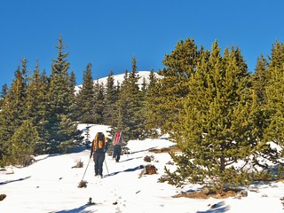
We hiked uphill to gain the lower East Ridge of Humboldt. For much of the ascent up to the ridge proper, we noticed a trench from earlier hikers and we capitalized upon their work. But, on occasion we would lose their track and make due.
There are a bunch of cairns up there on the ridge, so keep your eyes open and you’ll stay on course!
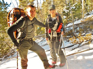
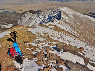
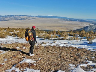
Jane was in the lead the entire day and she would stop on occasion to let David and I catch up. She is really good at finding the best way around trees and across the snow covered slopes. Here they are taking a breather after 2.5 hours of hiking.
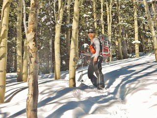
Here’s a great example of Jane following an old trench. She still has to work hard, though, as the trench was halfway filled in by new snow.
At this spot, we noted how the trees were opening up a bit and that, if the conditions were wrong this spot would be a potential avalanche hazard. Thankfully, we did not have those risky conditions and we were being smart about our method of attack.
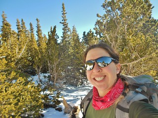
Approaching treeline. Jane and David out in front. We decided to take a little snack break before we left the shelter of the trees. It was warm in the sun and we were all happy about the lack of wind.
See, I told you, Happy!
Here at 12,000 ft, Jane and I stashed our snowshoes. David is staring up at the ridge.
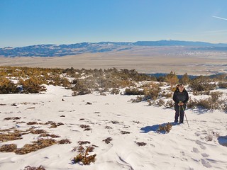
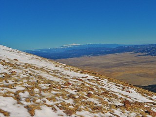
Taken from the same spot as the last picture, just looking Southeast. You can see the twin Spanish Peaks of Southern Colorado. These have huge prominence.
According to Wikipedia, “The two peaks, West Spanish Peak (13,626 feet or 4,153 meters) and East Spanish Peak (12,683 feet or 3,866 meters), are east of, and separate from, the Culebra Range of the Sangre de Cristo Mountains. West Spanish Peak is the easternmost mountain over 4,000 meters in the United States.”.
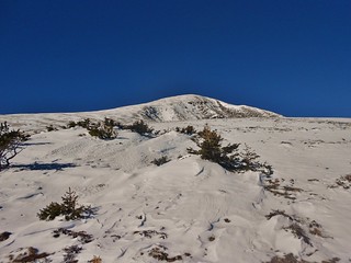
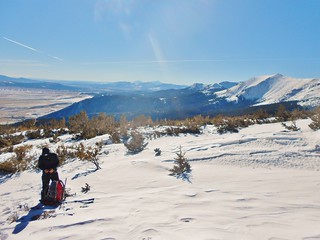
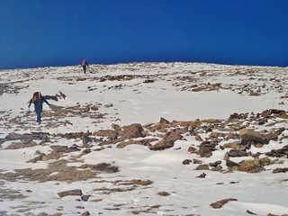
From the snowshoe stash, looking up slope. The hump is at 13,000 ft, so it’s not the summit! When you get to the top of the hump, you are finally rewarded with a summit view!
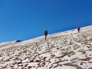
Around 12,200 ft, Jane and David advance uphill.
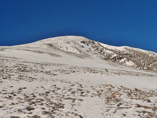
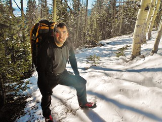
Even though I’ve climbed a few hundred feet, the top of the hump still looks a long ways off!
Looking back down the ridge from the same spot as the last two pictures.
Just in case you’ve forgotten about the goofball Climbergirl.
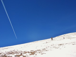
In the middle of the ascent of the hump, the contrails from a jet streak the sky.
At 12,500 ft, looking back down.
Jane will be able to see the summit in about 5 minutes!
Pike’s Peak, from Humboldt! Wow, it looks beautiful.
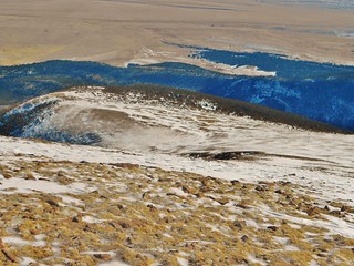
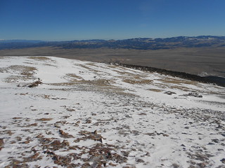
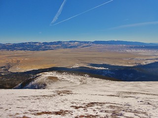
Looking back down from 12,700 ft. The cars are parked off in the distance, about 5 miles from this spot! What a clear day.
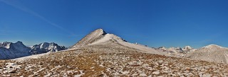
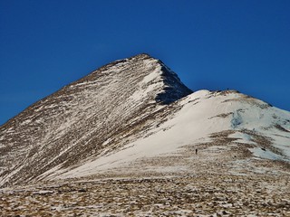
The moment I’ve been waiting for…a view of the summit!!! Exciting times, my heart is racing now and I have to calm down. I’m still about half a mile away and have about 1,000 ft left to climb.
Milwaukee Peak. It looks challenging!
David is approaching the snow patch, and Jane is already half way to the summit!
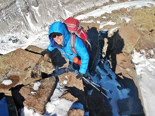
The East Ridge of Humboldt is actually a real ridge, with some rock scrambling and a few sections of exposure. There was only two short sections I had to put a hand down, so for the most part it was class 2. We didn’t need ice axes, but I was happy to be wearing microspikes.
Here I am with 500 ft to go!
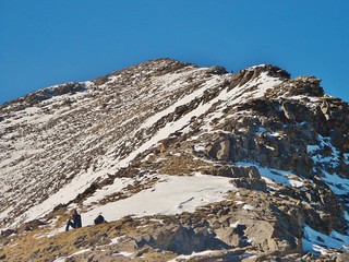
The final push to the summit. David is taking a snack break on a grassy spot (I would soon join him). Jane is about 100 ft from the summit, standing on a rocky outcropping.
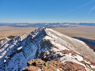
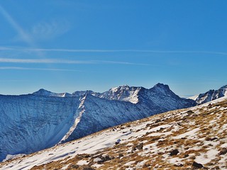
Looking back at the ridge, taken from the same spot as the picture above…
Break time! It was so nice outside, I could have easily leaned back and taken a nap.
Instead of napping, I left that nice grassy spot for the summit.
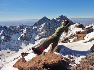
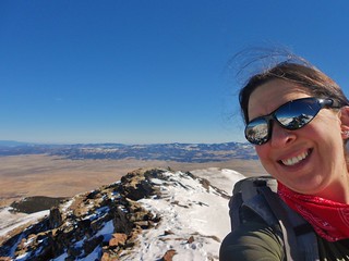
Here I am sunbathing on the summit. It was so warm up there, I wish I would have brought a t-shirt. We enjoyed the views of the Crestones and I ate my soup.
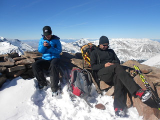
Jane and David stay in touch with friends and family, from the summit of Humboldt Peak.
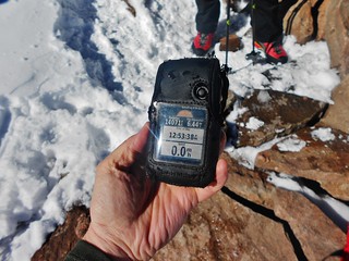
Before we leave the summit, I snap a shot of my Garmin. 14,071 ft and 6.44 miles. Which means, we have 6.44 miles to get back to the jeep. Oy Vey!
David and Jane descending the East Ridge
Jane down climbing a third class section.
Just after the 3rd class descent, it’s all easy from here, just an exercise of endurance!
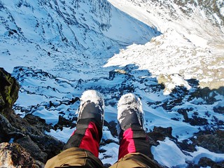
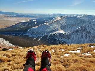
I got this rad foot dangle shot. Thanks, David, for holding my backpack while I took this picture!
David on the East Ridge. This reminds me of some sort of advertising; it’s iconic.
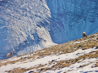
Big Horn Sheep!
We get back to the snowshoe stash and take a quick break. David contemplates the last 4 miles! It’s a bit disheartening to see the jeep *so* far away.
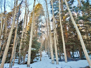
The sun is setting and the trees light up. I love the Magic hour!
Jane is psyched to have another 14er winter ascent under her belt! Since the morning, so much snow has melted that now the Rainbow Trail is a bit muddy!
The other class 3 obstacle. Tee-hee-hee. Thanks David for capturing this goofy moment.
Hiking out South Colony Road. I kept seeing ski tracks and I was really jealous. It would have been so nice to coast back to the jeep rather than walk. Again, earning that winter summit!
The last half mile felt like it took forever.
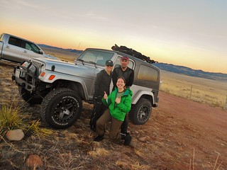
Finally, back at the jeep! Yay for us! It took us 12 hours, including about 1 hour of breaks, to complete the 13 mile round trip up the East Ridge of Elbert. With beautiful weather and enjoyable company, it was a fantastic day on the mountain! So nice to be out with Jane and David. Good times.
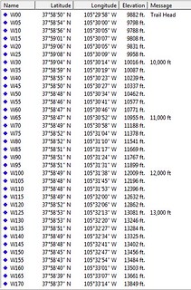
Oh, I almost forgot, our waypoints.
Tags: 14er, Humboldt Peak, Microspikes, Mountaineering, Sangre De Cristo, Snowshoe Hiking, Winter