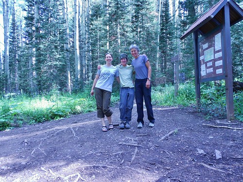
Clare, Meredith, and Helen at the Sunshine Mesa Trailhead
After climbing Teakettle Mountain on Thursday, I found myself in an enviable position. I was in the San Juan Mountains, at the beginning of a weekend, with a reasonable weather window in the near future…Time to climb some more mountains! Giddyup!
Lucky for me, Helen and Meredith were thinking the same thing…and before we knew it, the three of us were on our way to Telluride. More specifically, heading to the Sunshine Mesa Trailhead for a backpack into Bilk Basin.
Would the good weather hold? Would we have the energy, after Teakettle? Would we be thwarted by the treacherous, unsettled chosspile of a mountain that some refer to as Sadstone?
The litany of potential failings raced through my mind as we trundled up Sunshine Mesa road. The road was muddy, steep, and slick. Was this a forbearance of things to come?
Once on the Sunshine Mesa Road, it was clear to all that it had been raining recently. With the road in that condition, I drove a bit slower to keep in control of the Subi. Still, a few times, the mud ruts dictated the direction of the car and I just let the car go where it wanted. Helen was in the passenger seat and offered words of encouragement during the couple of crux sections.
We arrived at the trail head right around noon. There were tons of mosquitos, so we didn’t hang around for too long.
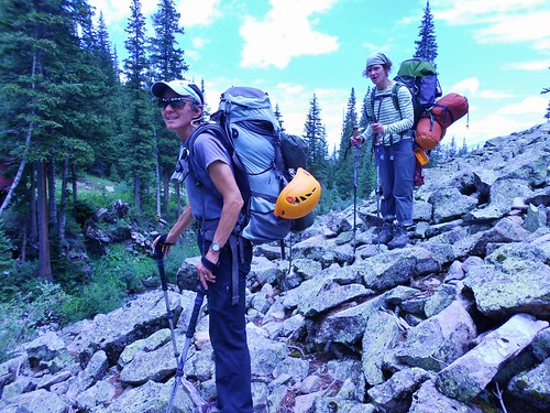
The trail into Bilk Basin is nicely maintained. For the first mile, or so, motorcycles are allowed, so from time to time we saw the tire imprints. Once the trail wraps around into the basin proper, no more motorized traffic is allowed and the trail narrows.
We took several breaks on our way to camp. The first one was at a nice rock bench at 10,000 ft (37 deg 52.012 min N, 107 deg 56.856 min W). About 15 minutes from there, we crossed the Bilk Creek.
Interestingly, on our way out, the next day, there were two logs crossing the creek!
Having two logs made it much easier to cross…
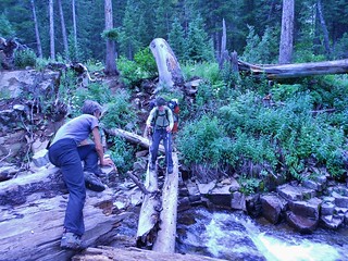
Meredith Crossing Bilk Creek and Helen Providing Encouragement
Once you cross the creek, there is a sign for the Lizard Head Wilderness. It may not be noticeable, because the destination, to upper Bilk Creek, is to the left and the sign is to the right…But, when we saw it, we took a short detour to check it out.
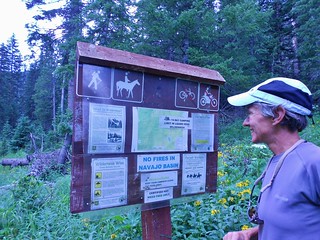
Helen and the Lizard Head Wilderness Sign
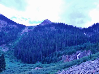
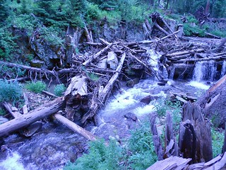
About 2.5 hours into our hike, we arrived in a location which was surrounded by amazing waterfalls! It was truly spectacular.
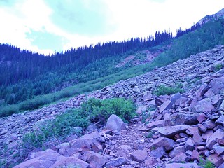
This picture was taken in the same spot as the last picture and just demonstrates how the trail can sometimes be a bit rocky. However rocky the trail got, we had virtually no problems route finding on our way to Upper Bilk Basin. It’s a very nice place to backpack.
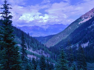
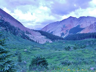
The view looking back down Lower Bilk Basin. Nice.

About 20 minutes later, we had climbed over a steep section, and we were treated to the first views of the Upper Bilk Basin.
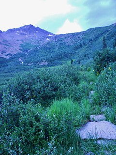
At a stone path, I paused to take a picture and record the GPS (37 deg 51.309 min N, 107 deg 57.671 min W).
About 10 minutes later, we got our first view of Lizard Head and Gladstone Peaks:
Another 10 minutes later and we were at the trail junction for Lizard Head Pass. Since we were climbing Gladstone, we turned right. In the picture below, you can see the trail which heads to the pass (that we did not take!).
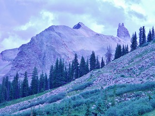
Lizard Head is Huge!!!

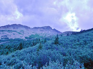
When we turned right to head in the direction of Gladstone, the trail went upward through some willows.
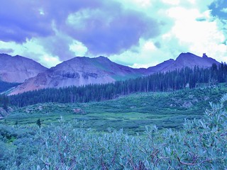
After the willow section, I looked back from where we came and Sunshine Mountain beamed from across the basin.
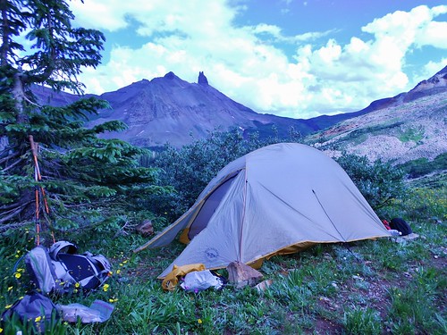
About 15 minutes from the trail junction, we ended up on an old jeep road, which had some very nice switchbacks. We followed these upward. There were clouds in the sky and we were starting to feel the need to set up camp. So, we picked a really flat switchback and hunkered down. Willows and a few evergreen trees provided a wind break.
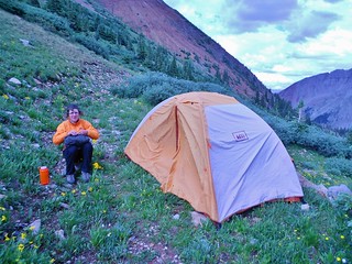
Here’s Meredith and her tent!

And, Here’s Helen, checking out the map for tomorrow. Gladstone peak is looming in the distance!
Our camp coordinates were:
37 deg 51.256 min N, 107 deg 58.125 min W.
Once we set up camp, the clouds disappeared. We had a lovely evening and enjoyed the views of Lizard Head, Gladstone, and Wilson Peak as the sun set. I went to bed excited and amped about summit day!
Tags: 13'er, Backpacking, Bilk Basin, Centennial, CO, Gladstone Peak, Lizard Head Wilderness, San Juan Mountains, Scrambling, Sunshine Mesa Trailhead, Telluride