Trail Running – Behind the Rocks 50k, Moab, Utah

March 28th, 2015

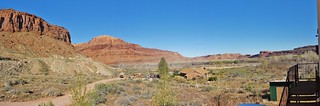
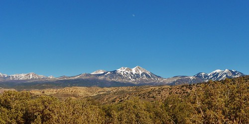
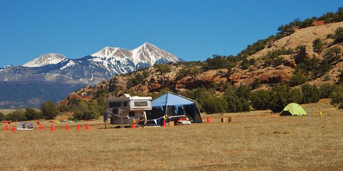
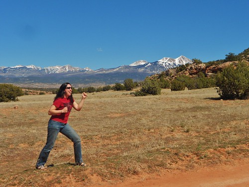
La Sal Mountains from Behind The Rocks Road
The Beautiful La Sal Mountains
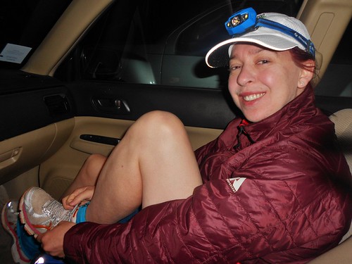
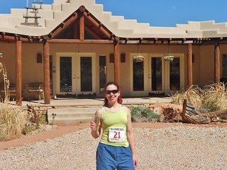
Gearing Up and Ready to Run
Starting at oh-dark-thirty. Race Director let me start with the 50 Milers (at 6am)! Awesome guy, that Justin…
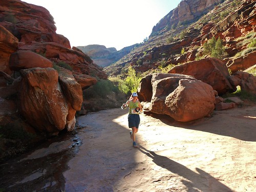
Approaching The Halfway Aid Station Spot
The Halfway Point, at Mile 16

Behind The Rocks 50K Finish Line
Crossing the Finish Line in 87 dF temps after 7 hours 13 minutes of running.
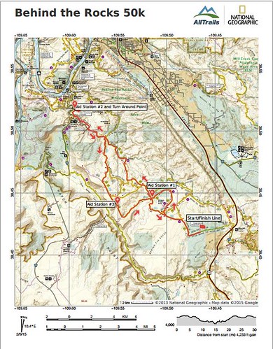
Behind The Rocks 50k Map
The 50k Map!

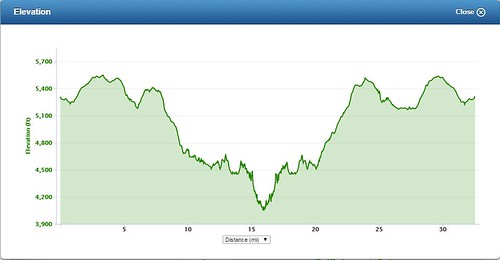
Behind The Rocks 50k Elevation Profile
Elevation Profile for 50k!

I was researching single track trail 50k races held in Utah during the month of March, and I found Behind The Rocks. Just south of Moab, in the high desert and set against the backdrop of the La Sal Mountains, the BTR run is a challenging yet beautiful race. It is an out and back, with some variation on the way back to keep it interesting. Just prior to the turnaround, at the halfway point, there are a series of ledges involving some 3rd class scrambling and a bit of exposure. FUN!

I contacted the race director to ask some questions; mainly to make sure the event was not on pavement and to find out the total amount of elevation gain. Justin responded to my questions promptly. He was really friendly and encouraging. He mentioned the course was a bit longer than a 50k (turns out it’s 32.5 miles), that it was definitely not on pavement, and it was ~3,800 ft of gain (turns out it’s ~4,100 ft of gain). In my experience running 50k trail races, the Race Directors are often not hung up on the specific distance or gain parameters and their main focus is running a safe and smooth event.
Read the rest of this entry »

Trail Running – Behind the Rocks 50k (The Day Before!)

March 27th, 2015

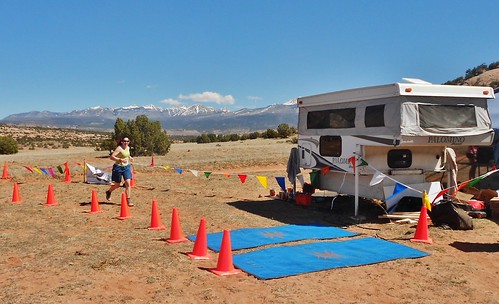
Race Director Base Camp for Behind The Rocks
The Race Director’s Campsite, at the Finish Line!

Imagining Success at the Finish of Behind the Rocks
Imagining Success at the Finish Line!

Klondike Trails Mountain Biking
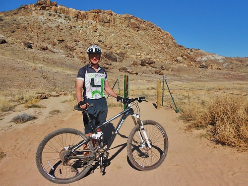
Dennis about to mountain bike the Klondike Trails

On Friday, I dropped Dennis off at the Klondike Trails, so he could do some mountain biking. While he was doing that, I got my stuff ready for race day. Then, I picked him up and we drove to the start of Behind the Rocks 50K, so we would know where to go for the 6am race start. Packet Pickup was really easy and I ran into Doug and his friend Craig. We arranged to meet for dinner (a second night at Pasta Jay’s). Then, it was time for bed!

Trail Running – Behind The Rocks 50K (Arrival Day!), Moab, UT

March 26th, 2015

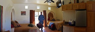
Adobe Abode East Room
The East Room, Upstairs, at Adobe Abode

The View from our room at Adobe Abode
The View from the Balcony!

Back at the Hotel and Ready for a Refill
Me, post race, in front of Adobe Abode

On Thursday, Dennis and I drove to Moab, Utah. I was excited to run the Behind The Rocks 50K Trail Ultramarathon and he was excited to sample the famed mountain bike trails. The drive went really smoothly and we arrived in Moab mid-afternoon.

Read the rest of this entry »

Mountaineering – Mt. Massive (14,428 ft) via East Ridge, Leadville, CO

March 14th, 2015

Charlie's Angels Summit Mt Massive
Charlie’s Angels on the Summit of Mt. Massive! It was so amazing to be on the summit with these accomplished ladies. What a fantastic day in the Sawatch Mountain Range!

On Saturday, Jane, Sanja, and I climbed to the summit of Mt. Massive via the East Ridge. It was my 2nd attempt on the mountain, having failed back in January due to high winds. With a stable, relatively calm forecast and a known trench, which was previously established to the East Ridge, the chances for success were excellent.

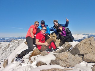
Mt Massive Summit Group Shot
Group Shot (From L-R: Sanja, Clare, Jane, Kevin, and Sarah). We met Kevin and Sarah on the way up to the summit and they were fun to hang out with once we caught up with them. Kevin and Sarah are both excellent mountaineers, in their own right, so there was a great camaraderie on the summit.

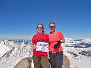
Clare and Sanja on Mt Massive
It’s Massive, Baby!

Mt Massive East Ridge Route
Our Route. Rather than going up a steep grade, on the north side of Pt 11,827, we followed a trench which wound it’s way gently around the south side. The route was much less strenuous, but it was 0.5 miles further distance wise, turning a 13 mile day into a 14 mile day. An additional benefit of going around the south side, was the presence of the sun which lightened our mood and made the hike that much more enjoyable.

Timing:
05:45 am Leave Fish Hatchery
07:15 am Intersection of CO Trail and Highline Trail
09:00 am South of Pt. 11,827 at Treeline
09:30 am On the East Ridge Proper!
10:20 am At 12,500 ft on the ridge
11:00 am Passing through the notch at 13,200 ft
12:00 pm At 14,000 ft and done with scrambling.
12:30 pm Summit!
6:00 pm Back at the Fish Hatchery.

At the end of the day, Jane and Sanja got back to the car 30 minutes before me. A new pair of mountaineering boots were giving me agonizing pain, so the last 3 miles back were excruciating. Probably not a good idea on my part, to try breaking in a new pair of boots on a 14 mile hike, with 4,760 ft of elevation gain!

Mt Massive Winter Panorama
Even the view is Massive!

Read the rest of this entry »

Running – William F. Hayden Park (aka Green Mountain), Lakewood, CO

March 6th, 2015

Laura and Clare Trail Running Green Mountain
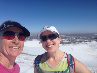
Laura and I on the top of Green Mountain.

Looking Down Box o' Rocks
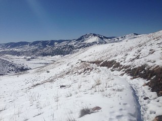
Looking back down Box O’ Rocks trail.

Photos courtesy: Laura Luhn

On Friday, I met up with Laura for my training run at Green Mountain. She ran with me for the first couple hours of my run, so it was great to have company. We met fairly late in the day, so the snow was already beginning to soften. By the end of our first loop (8 ish miles), it was turning to slush.

During my second loop, the trail had devolved into full on slush with rivulets of mud sliding underneath the snow. I got very wet and muddy as the day continue to warm up. I was running a bit too fast down a steep grade and I fell and landed in the mud. Bits of ice cold mud and water splashed up over my head and dripped down my sunglasses. The entire right side of my body, coated in a thin layer of mud. Thankfully, with nothing other than an abrasion on my leg and palm, I continued back to the car.

At the end of my second loop, I decided I had enough of the slush and opted to finish the last 3 miles by running on the paved bike path. Being on a firm surface allowed me to finish my 4.5 hour excursion with some fast miles and it felt good to open the throttle at the end.