Archive for the ‘Hiking’ Category

Peru – Day 7 – Corcoro Village Cultural Experience

Wednesday, December 17th, 2014

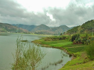
Laguna Piuray
Laguna Piuray, on our way to Corcoro
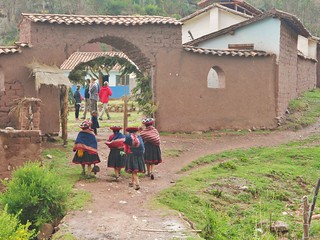
Corcoro
Corcoro Ladies

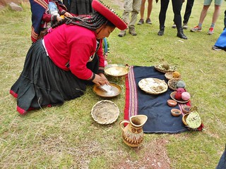
Wool Cleaning Demonstration
Process of Cleaning and Dying Wool

On Wednesday, Dennis and I joined the rest of our Intrepid Travel group on a cultural visit to a small mountain village called Corcoro. Dennis was still feeling under the weather, so I was hoping today’s activities weren’t too taxing.

On the schedule, was a trip to the mountain village where we would learn traditional field plowing methods, the art of weaving, experience a traditional country lunch, play some soccer, learn how to make Chicha (fermented corn drink!), and end the day in Ollyantaytambo.
(more…)

Ecuador – Day 10 – Guagua Pichincha Hike and Quito’s Marascal District

Saturday, November 29th, 2014

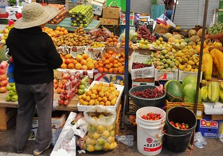
A Fruit Stand
A Market on Outskirts of Quito

Pichincha Hut and Basalt Crag
The Guagua Pichincha Hut (14,900 ft) and nice looking Basalt Crag (climbable?)

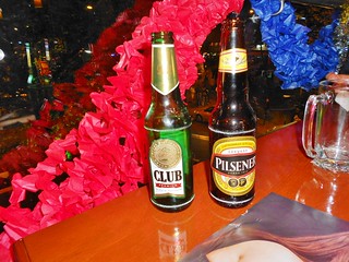
Quito Beer
Enjoying a beer in the Marascal District

On our last day in Ecuador, we drove back to Quito, from the lodge, Cuello De Luna. As we neared Quito, we drove through a large farmers market. Then, we headed to the town of Lloa, to do a cool down hike near Guagua Pichincha. After the hike, we drove to the Marascal district in Quito, where Rafael’s shop is, to walk around and have dinner. A ride to the airport was arranged for after dinner, so we had the evening to be tourists.

(more…)

Ecuador Day 7 – Illiniza Norte (16,817 ft)

Wednesday, November 26th, 2014

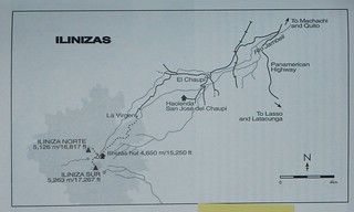
Ilinizas Map
The Map

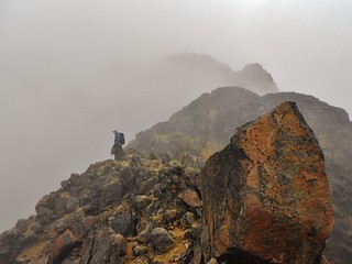
The Misty Ridge of Iliniza Norte
The Approach

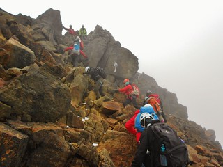
Climber Congo Line up Iliniza Norte
Congo Line at the Top

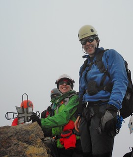
Clare and Tilden on Summit of Iliniza Norte
The Summit

Our 4th mountain of the week was Illiniza Norte. To climb this mountain, we went roughly 11.5 km with 1,128 m (3,700 ft) of gain. The whole thing took us 7 hours and 10 minutes; including a lengthy stop for tea and another one for lunch.

For the first time during the trip, I had a headache from the altitude. It was just after we crossed 16,000 ft and it disappeared once we began descending. Tilden, on the other hand, finally started feeling good at the altitude and he did awesome.

We were both really happy Rafael knew the route so well. When we got to the top, there were a couple of huge tour groups and we were able to bypass them without roping up. Also, since most of them were stationary on the summit, we didn’t have to worry about them knocking rocks down on top of us while we descended.

(more…)

Ecuador Day 6 – Rucu Pichincha (15,413 ft)

Tuesday, November 25th, 2014

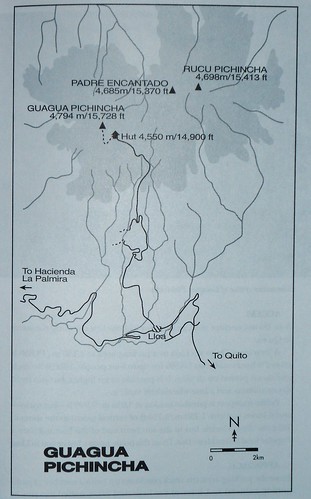
Guagua and Rucu Pichincha Map
The Map

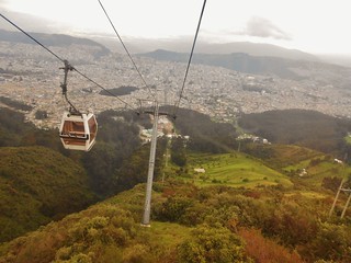
TeleferiQo in Quito
Riding the Gondola (TeleferiQo) in Quito

Rucu Pichincha: A Lovely Ridge Hike
The Approach. It starts on the ridge, then it climbs ever steepening terrain until the last wee bit is 3rd class. The summit is in the clouds, left of frame!

Tilden Stepping up on Rucu Pichincha
Third Class Section…Most Fun bit, but unfortunately only 10 minutes!

Rafael and Tilden on Rucu Pichincha
Rafael and Tilden Enjoying The Summit

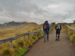
For our 3rd mountain, we climbed Rucu Pichincha. It is a unique ascent because it is very close to Quito and the trip starts with a ride on the Gondola! From where we got off on the Gondola, it took us 2 hours and 50 minutes to summit and just under 2 hours to get back.

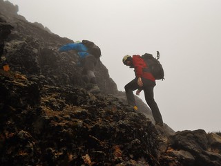
It’s a great half day acclimatization. While the navigation and hiking is relatively easy during the ridge traverse to the peak, the ascending of the peak itself is not for the beginner. There are cliffs surrounding the entire base of the mountain. Thus, it’s really important to go with a guide on this mountain, or be in the company of an experienced mountaineer who is already familiar with the peak. Clouds are pervasive threats to navigation and the terrain at the top is steep and chossy!

(more…)

Ecuador Day 5 – Imbabura Summit Rim (14,764 ft)

Monday, November 24th, 2014

Imbabura Map
The Map

Rafael, Tilden, and our Perra
The Approach

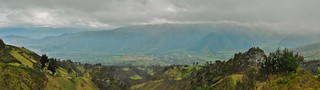
Imbabura View in the Morning
The View

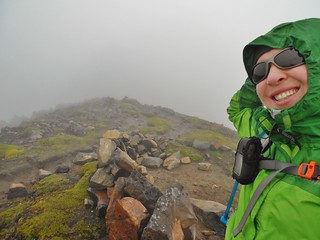
Clare Near Imbabura Summit
What I Thought Was the Summit!

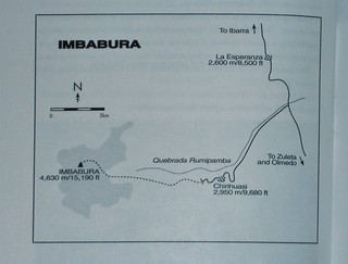
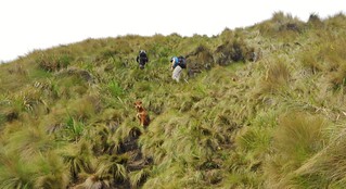
Our next mountain, Imbabura, is the prominent mountain of Otavalo. According to Yossi Brain, “A large hill with a long walk up it, Imbabura is good for acclimatization and fitness.” I have to agree. The route we took ascended 3,905 ft and took us just over 4 hours to accomplish. At the time, I thought it was the summit, but later we figured out that we were on the summit ridge (since it’s a volcano, it’s not obvious if you’re in a cloud, to see the highpoint!). (more…)