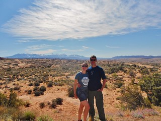
The La Sal Mountains from Arches National Park
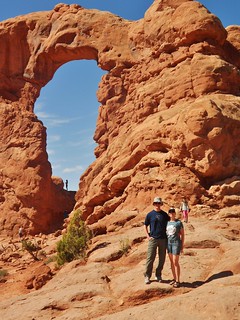
Turret Arch
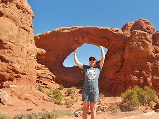
Arch Support!
The day after running Behind The Rocks 50k, we needed to head back to Denver. Rather than rush back, we took our time hiking around Arches National Park. It felt great to walk around on the legs after the race. I could tell they were stiffening up; so it was a good idea.
Arches National Park is really a neat park. If interested in geology and/or indigenous culture, it will be worth your time to check it out. After about 1 hour of walking around, I was ready to get back in the car and take a nap! The day after my 50Ks, I just don’t have that much energy as my body is in recovery mode!