Posts Tagged ‘14er’

Mountaineering – Mount of the Holy Cross, A Half Marathon Hike, CMC

Friday, July 18th, 2014

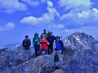
CMC Group Summit Holy Cross Ridge
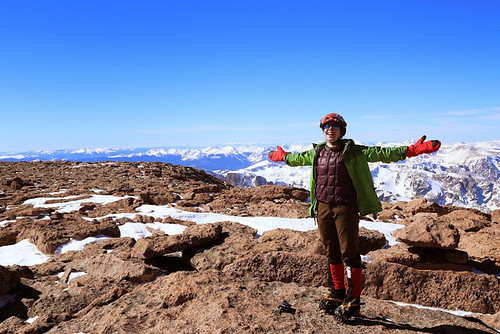
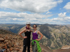
My CMC posse on the summit of Holy Cross Ridge (13,831)
L to R: Bobby, Jane, Clare, Fred, Marshall, and Andreas
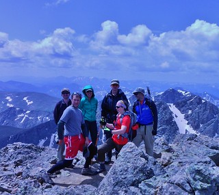
CMC Group Summit Mt of the Holy Cross
And an hour later, here we are on Mount of the Holy Cross (14,005 ft)
L to R: Bobby, Fred, Jane, Marshall, Clare, and Andreas

On Friday, I led a Colorado Mountain Club trip on a half marathon loop hike in the Holy Cross Wilderness. With a beautiful weather forecast and an early start, we were bound to have a great day. I was excited about the trip as I had been ruminating about it for months. I was also really psyched to be on the trail with this posse; they are talented, fit, and superb mountaineers!

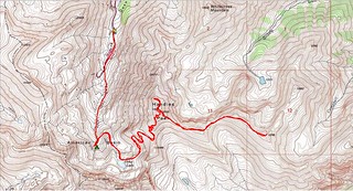
Our Route:
1. Departure from the Halfmoon Campground at 4:25am.
2. Started hiking south on the Fall Creek Trail at 4:40am.
3. We turned right and headed west up the Notch Mountain trail, hooking up with the Halo route at ~6:00am.
4. Arrive at Notch Mountain Shelter at 8am.
5. We continued heading south and then west to Holy Cross Ridge at 10:50am.
6. From there, we went northeast to Mount of the Holy Cross at 11:50am.
7. Then, we took the standard North Ridge route back to Halfmoon Trailhead, finishing at 4:30pm.
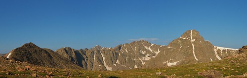
Mt of the Holy Cross Panorama from Notch Shelter
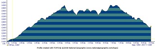
We hiked 13.8 miles, with 5,400 ft of gain, in 12 hours (including several long breaks).
(more…)

Mountaineering – Longs Peak (14,255 ft) via the Keyhole

Friday, March 14th, 2014

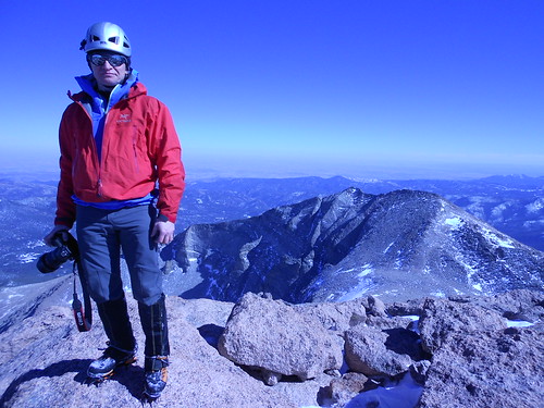
Slava on Longs Peak Summit
Slava on Summit of Longs Peak

Super Psyched on Longs Peak
Climbergirl Conquers Longs Peak

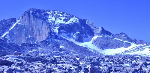
Longs Peak and the Keyhole from Boulderfield
Our Destination, From the Boulderfield

On Friday, Slava and I took advantage of the clear weather and climbed Longs Peak. Originally, our plan was to climb Mt. Lady Washington, but since the weather was gorgeous and we were making excellent time, we decided to go for the summit of Longs Peak instead.

We ascended the ever popular Keyhole Route. It was my first time climbing Longs Peak, so I was excited to do this route in winter when there would be no crowds. Additionally, the element of snow and ice made the route more challenging and I enjoyed the added technicality of climbing with crampons.

(more…)

Mountaineering – DeCaLiBron via North Ridge of Mt. Democrat

Saturday, September 21st, 2013

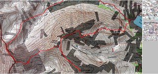
DeCaLiBron Loop TOPO Map
DeCaLiBron Loop Hike Topo, Via North Ridge of Mt. Democrat

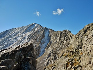
Mt. Democrat North Ridge
The North Ridge of Mt. Democrat, oh that it were longer! 0.5 miles of fun scrambling does not make up for the 6+ mile boggy approach.

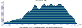
DeCaLiBron Loop Elevation Profile
This elevation profile is not quite accurate. 4900 ft is in the right ballpark, for the elevation gain, but the distance is short by about a mile!

Doug and I decided to squeeze in a few more 14’ers before winter and so we aim for DeCaLiBron (De=Democrat, Ca=Cameron, Li=Lincoln, and Br=Bross). I’m not sure why it’s called DeCaLiBron and not DeCaLiBross, but that’s a topic for some other time.

To make it more interesting, we decide to climb the north ridge of Democrat, then climb Cameron, Bross, and Lincoln. Ending the day by descending the Lincoln Amphitheater, to get back to the truck above Montgomery Reservoir.

Launch: 5:50am
Begin Mt. Democrat North Ridge Scramble: 9:40am
Summit Mt. Democrat: 10:40am (We take a short lunch break on the summit).
Summit Mt. Cameron: 11:40am
Summit Mt. Bross: 12:20pm
Summit Mt. Lincoln: 1:12pm
Begin Descent of Mt. Lincoln via the Amphitheater: 1:25pm
Finish: 4:15pm

(more…)

Mountaineering – San Juan Peak Bagging Extravaganza, Day 3

Saturday, August 17th, 2013

Day 3 of SJPBE did not start out very well. It was raining at 4:30am. So we slowly got things ready while it was raining. We were not excited about hiking in the rain. Finally, around 6am, it cleared up a little and became just a slight sprinkle.

Good enough! We charged down the road; two girls on a mission. We had no idea how our day would go, we just knew it would be a good day!

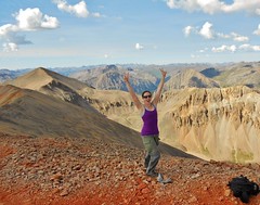
Summit of Redcloud Peak (14,034 ft) Erin All Fired Up on Redcloud Peak (14,034 ft)
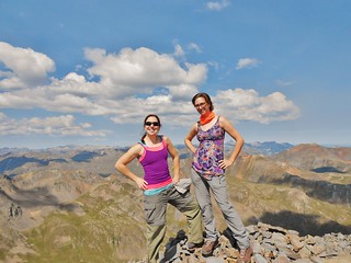
Clare and Erin all fired up on Redcloud!

Erin and Clare Walking on Sunshine (14,001 ft)
We’re Walking on Sunshine…Yeaaaaah!

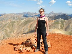
Clare on Summit of Pt 13,832
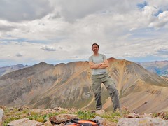
On Summit of Pt. 13,832 (A Centennial) with Sunshine and Redcloud behind me.

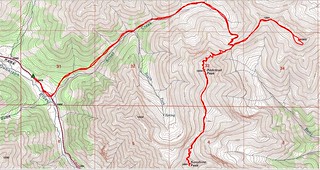
Redcloud, Sunshine, Pt 13,832 Topo Map
Map of Approximate Route

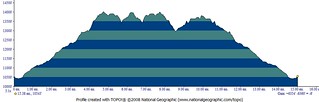
Redcloud, Sunshine, and Pt 13,832 Elevation Profile
Elevation Profile showing 15 miles total with 6,300 ft of elevation gain. Whew!

(more…)

Mountaineering – San Juan Peak Bagging Extravaganza, Day 1

Thursday, August 15th, 2013

Today our schedule for the day was to climb Handies Peak (I also did the bonus bi-centennial, Pt 13,795) and then set up base camp (somewhere above 12,400 ft) in American Basin. We had a great day and it went exactly as planned.

Summit of Handies Peak (14,048 ft)
On the summit of Handies Peak (14,048 ft)

Clare on Summit of Pt 13,795
On the summit of bonus Bi-Centennial, Pt. 13,795

Handies Peak and Pt. 13,795 Topo Map
The Topo Map, with our approximate route and camp spot.

Handies Peak and Pt 13,795 Elevation Profile
The Elevation Profile, for Handies and the bonus point, showing 4,900 ft of gain with 9.5 miles.

(more…)