Archive for the ‘Mountaineering’ Category

Mountaineering – Mt. Bierstadt, Northeast Face Via Abyss Lake

Saturday, July 20th, 2013

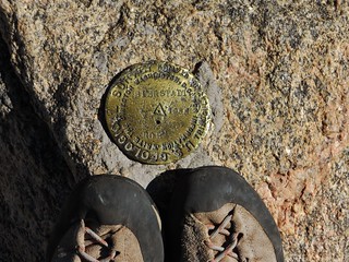
Mt. Bierstadt USGS Summit Marker

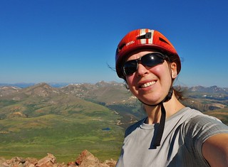
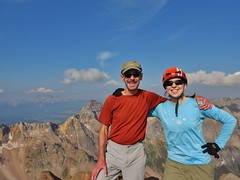
Climbergirl on Summit of Mt. Bierstadt (14,060 ft)

Every weekend, there are hundreds of people summitting Mt. Bierstadt via the standard West Slopes, from Guanella Pass. I was purposely putting off climbing Mt. Bierstadt because of my dislike for encountering hoards of people in the wilderness. Back in 2008, I had climbed Mt. Evans via the 2nd Apron and that was super fun…until I got to the summit and encountered the masses.
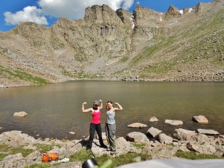
Flexing Our Muscles Below the Sawtooth

In talking with Erin about this, she suggested we overnight at Abyss Lake and climb Mt. Bierstadt from the Northeast side. We talked about doing the Sawtooth over to Evans, while we were there, as it looked like a bunch of fun.

Doing Mt. Bierstadt via Abyss Lake, turns the experience into an overnight backpack, which adds a bit of adventure and a great deal of mileage. It was 23.4 miles round trip with about 4,600 ft of elevation gain.
(more…)

Hiking – Mount Antero (14,275 ft) and Cronin Peak (13,870 ft)

Friday, July 12th, 2013

Erin Taking a Picture of Mount Antero

Erin and I had a fabulous plan for the upcoming weekend adventure. First, drive to the Sawatch Mountains and climb a 14’er. Second, attend the 17th Annual Colorado Brewer’s Rendezvous in Salida.

We wondered, how could we have a more perfect weekend?

We selected Mt. Antero as the target, with Cronin Peak, a Centennial 13’er as a bonus. These peaks are relatively close to Salida, we had not climbed them yet, and we *thought* we had a good chance of driving to the higher trailhead (Erin’s friend had recently driven up to the 4wd lot in her Subaru).

Unfortunately, my Subaru overheated on the way to Erin’s house. So, I left it somewhere in Lakewood, for Dennis to sort out later (thanks, hun!). Driving in her RWD truck, would we reach the 4wd lot? Would we be hiking up Baldwin Gulch in the dark and tacking on an extra 5 or 6 miles, round trip? (more…)

Mountaineering – Southwest Ridge of Mt.Sneffels

Sunday, July 7th, 2013

Jeff and Clare Stand Victorious on Mount Sneffels
Victorious on Mt. Sneffels (14,157 ft)

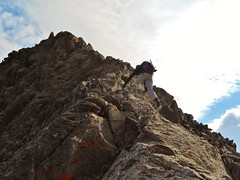
Jeff Scrambling Up the Southwest Ridge of Sneffels
Jeff Scrambling up to the Summit of Mt. Sneffels

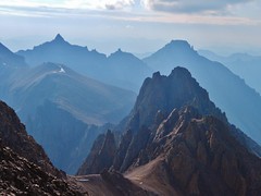
Cirque Mountain, Teakettle Mountain, and Potosi Peak
The Amazing View! Cirque Mountain, Teakettle Mountain, and Potosi Peak.

Jeff and I climbed the uber classic southwest ridge of Mt. Sneffels.

Jeff had mentioned, on my Pigeon/Turret trip last summer, how he was interested in climbing the ridge route on Sneffels. In the meantime, I had heard nothing but good things about it from other folks in the Colorado Mountain Club.

So, finally, after thinking and dreaming about the route for year, I got to climb it! The southwest ridge did not disappoint; it truly is a classic ridge scramble and, as such, is featured as one of the premier routes in the CO Scrambles book.

(more…)

Mountaineering – Fletcher Mountain Attempt

Saturday, June 22nd, 2013

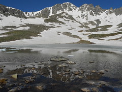
Fletcher Reflected in Lakes at 12,550 ft
Fletcher Mountain, Taken from a lake at 12,550 ft

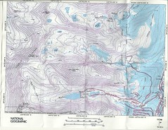
Quandary and Fletcher Topo Map
The Topo of Quandary and Fletcher

I would like to climb the Inwood Arete on Quandary Peak. However, the direct start, a large crack, might be full of ice or still wet from the spring thaw! By hiking up McCullough Gulch, we could inspect the route and use the information to nail the timing of the climb. In the end, I decide it’s probably safest to do the climb in August.

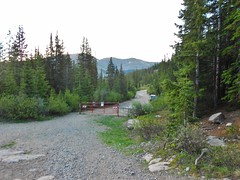
The McCullough Gulch Trail Head
The McCullough Gulch Trailhead

On Friday, I met with Erin and we drove her truck, Bertha, to the trail head at McCullough Gulch. It was an easy drive and the gravel road was fairly well maintained. Any car could make it to the trail head, at this time of year. I was still happy we had Bertha though, because we planned to sleep in the camper vs. setting up in a tent.

(more…)

Mountaineering – Skywalker Couloir & Arapaho Traverse, IPW, CO

Sunday, June 16th, 2013

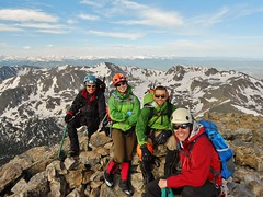
Summit of South Arapaho
Kent, Clare, Doug, and Tilden on Summit of South Arapaho

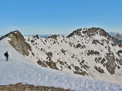
The Arapaho Traverse
The Arapaho Traverse, Taken from South Arapaho

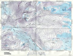
Topo Map for Skywalker Couloir and Arapaho Peaks
The Topo Map for Fourth of July Trailhead and the Arapaho Traverse

Doug tells me that he and Kent are planning to climb the Skywalker Couloir. Then he adds the phrase, “If you want to come, you’re welcome to join us”. Oh boy! It’s an offer I can’t refuse. This classic snow climb has been recommended to me by several other Colorado Mountain Club members, and when it’s “in”, it is a “must do”. Tilden is invited as well, so that makes a strong party of 4. Perfect!

Before the climb, I’m a little nervous. I haven’t done any snow climbing since Rainier’s Emmons Glacier route, almost a year ago. Furthermore, Rainier only had one short section that was steep; a 50 ft section which was probably around 40 degrees. We were at that crux in the middle of the night. I wasn’t sure how I’d do in daylight with full knowledge of what I was getting myself into! Plus, Skywalker has a much longer steep section than what I experienced before.

I contacted my friend Robert, who has done both climbs (Rainier and Skywalker) to find out what he thought of the cruxes of both routes. Robert described to me what it was like, comparing and contrasting each. It was his opinion that I would be fine and he said I should not hesitate.

So, I didn’t!
(more…)