Posts Tagged ‘Centennial’

Mountaineering – Horseshoe Mountain (13,898 ft) via Boudoir Couloir

Sunday, June 8th, 2014

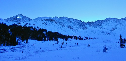
Horseshoe Mountain
Horseshoe Mountain, a Mosquito Range Centennial
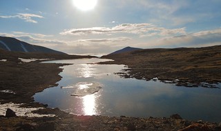
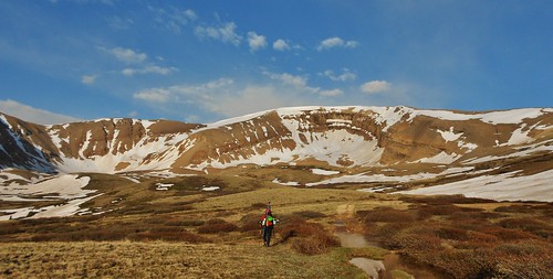
Horseshoe Mountain Lake
Beautiful Alpine Lake

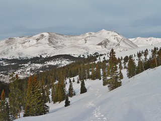
Getting Closer to Boudoir Couloir
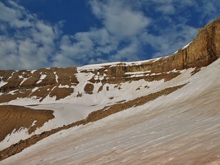
The Boudoir Couloir!

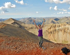
Smiles at the top of Boudoir Couloir
Snow Climbing is Fun!

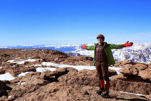
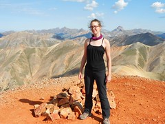
Horseshoe Mountain Summit
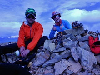
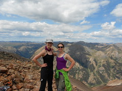
Doug and I enjoying the summit of Horseshoe Mountain

The Roaches give Horseshoe Mountain’s Boudoir Couloir route a *Classic* rating. This fact, combined with the ease of access to the trailhead, straightforward approach (no stream crossings!), small amount of elevation gain (~2,350 ft!), and mellow angled climbing put this climb at the top of my list. We were looking for a half day’s worth of effort and this climb was perfect!

Also, thanks to Bill Middlebrook, of 14ers.com, for posting a condition report of Horseshoe while out on White Ridge. That report was super helpful!

The Schedule:
Departure from Denver: 4am
Departure from TH: 6:30am
Past the Lake: 7:20am
Start Climbing Boudoir Couloir: 8:10am
Finish Boudoir Couloir: 9:20am
Summit of Horseshoe Mountain: 9:30am
Start Glissade of Boudoir: 10am
Back at the TH:~12pm
(more…)

Mountaineering – Mt. Silverheels – Attempt

Sunday, March 30th, 2014

Bross, Cameron, and Lincoln from Scott Gulch
Bross, Cameron, and Lincoln from Scott Gulch.

Erin and Silverheels
Erin fighting to stay vertical en route to Mt. Silverheels.

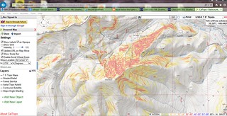
Cal Topo Silverheels
Cal Topo Map of Slope Steepness, for avalanche preparedness.

Erin and I failed miserably at ascending Mt. Silverheels. We properly mitigated all the objective hazards, but nothing could account for the onslaught of perpetually high wind. It was blowing much stronger than what I experienced with Slava on Longs Peak and I wouldn’t be surprised if it was gusting between 90-100 mph.

I fell over 3 times and I dared not drop my pack for fear that I would land in Oz. The forecast was for high winds gusting between 30 and 40 mph. Next time I try this mountain, I’m only going to go if the forecast is between 0-10 mph gusts…that way if they are off by 50 mph, then I might actually be able to summit!

(more…)

Mountaineering – Longs Peak (14,255 ft) via the Keyhole

Friday, March 14th, 2014

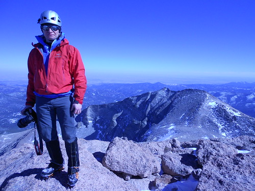
Slava on Longs Peak Summit
Slava on Summit of Longs Peak

Super Psyched on Longs Peak
Climbergirl Conquers Longs Peak

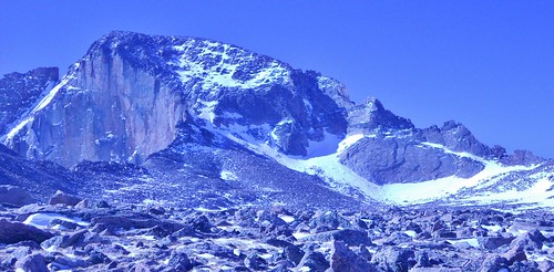
Longs Peak and the Keyhole from Boulderfield
Our Destination, From the Boulderfield

On Friday, Slava and I took advantage of the clear weather and climbed Longs Peak. Originally, our plan was to climb Mt. Lady Washington, but since the weather was gorgeous and we were making excellent time, we decided to go for the summit of Longs Peak instead.

We ascended the ever popular Keyhole Route. It was my first time climbing Longs Peak, so I was excited to do this route in winter when there would be no crowds. Additionally, the element of snow and ice made the route more challenging and I enjoyed the added technicality of climbing with crampons.

(more…)

Mountaineering – Atlantic Peak (13,941 ft)

Sunday, January 19th, 2014

Climbergirl and Nerdysheep on West Ridge of Atlantic
Rather than loafing around all day, watching the Bronco’s play the Patriots, Erin and I decided to go climb a mountain.

I stole Dennis’ Bronco shirt as a token of our support. My plan was to wear it on the summit!

Erin Enjoying Exposure on Atlantic West Ridge
In order to get there, we would need to climb 2900 feet of gain with a total trip distance of 5.4 miles, negotiating snow drifts, potential avalanche spots, and cornices.

The question is; would we conquer the mountain without succumbing to Old Man Winter?

Mayflower Gulch Basin
Pacific Peak Bathed in Early Morning Sun and the long, mellow angled ridge of Atlantic, in the foreground. Mt. Fletcher is off to the right, connected to Atlantic by a foreboding snaggle-toothed ridge!

I had my eyes set on the west ridge of Atlantic ever since reading about it in Mr. Cooper’s Colorado Snow Climbs book. Having been into the Mayflower Gulch on a prior attempt of Mt. Fletcher, I was familiar with the area; one of convenience and beauty!

(more…)

Mountaineering – San Juan Peak Bagging Extravaganza, Day 3

Saturday, August 17th, 2013

Day 3 of SJPBE did not start out very well. It was raining at 4:30am. So we slowly got things ready while it was raining. We were not excited about hiking in the rain. Finally, around 6am, it cleared up a little and became just a slight sprinkle.

Good enough! We charged down the road; two girls on a mission. We had no idea how our day would go, we just knew it would be a good day!

Summit of Redcloud Peak (14,034 ft) Erin All Fired Up on Redcloud Peak (14,034 ft)
Clare and Erin all fired up on Redcloud!

Erin and Clare Walking on Sunshine (14,001 ft)
We’re Walking on Sunshine…Yeaaaaah!

Clare on Summit of Pt 13,832
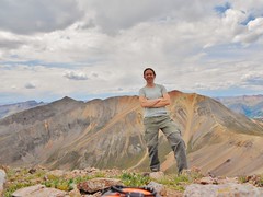
On Summit of Pt. 13,832 (A Centennial) with Sunshine and Redcloud behind me.

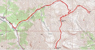
Redcloud, Sunshine, Pt 13,832 Topo Map
Map of Approximate Route

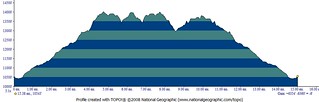
Redcloud, Sunshine, and Pt 13,832 Elevation Profile
Elevation Profile showing 15 miles total with 6,300 ft of elevation gain. Whew!

(more…)